Overview of Egypt's Climate and Geography
Egypt's Climate and Geography
Egypt is located in northeastern Africa, bordered by the Mediterranean Sea to the north and the Red Sea to the east. Most of the country is part of the Sahara Desert, making it a dry desert climate. However, some areas have different weather conditions. The Nile River and coastal regions have a milder climate, making them the center of agriculture and population.
1. Egypt’s Geographical Features
1 > Land Composition
Egypt covers about 1 million km², which is 4.5 times the size of the Korean Peninsula. However, since most of the land is desert, only a small part is suitable for living. More than 95% of the population lives along the Nile River and its delta.

2 > Major Landforms
2-1 > Nile River
- The longest river in the world (about 6,650 km), flowing south to north through Egypt.
- It forms a delta in the north, where metropolises and agriculture are concentrated.
- The Nile has been the foundation of Egyptian civilization for thousands of times.
- Even in summer, the river’s moisture makes the area less extreme than the surrounding desert.
- Wind direction and transportation:
- The water flows north (toward the Mediterranean).
- The wind blows south (from the Mediterranean toward the inland).
- With sails up, boats can travel south using the wind.
- Without sails, boats float north following the river’s current.
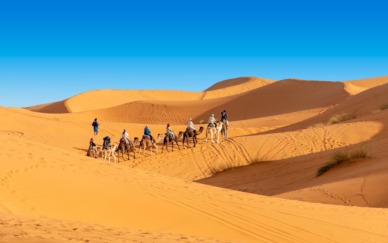
2) Western Desert (Libyan Desert)
- Covers about 2/3 of Egypt’s land and has veritably little rain.
- Oases (Bahariya, Dakhla, Siwa, etc.) provide small areas for farming.
- Mostly sand dunes and rocky hills, with a veritably low population.
3) Eastern Desert (Arabian Desert)
- Located between the Nile and the Red Sea, with many mountains and rocky areas.
- Rich in minerals such as gold and copper, mined since ancient times.
- Red Sea coast is a notorious sightseer area with diving and water sports.
4) Sinai Peninsula
- Part of Asia, with mountainous terrain.
- Home to Mount Sinai (Moses’ Mountain, 2,285m), a holy site for Islam, Christianity, and Judaism.
- A strategic region, participating a border with Israel.
5) Mediterranean Coast
- Metropolises like Alexandria are located then, with a mild climate.
- More rain falls here than in any other part of Egypt.
2. Egypt’s Climate
Egypt has a dry desert climate (BWh in Köppen bracket), but conditions vary by region.
1 > Seasonal Weather
- Summer (May–September):
- Hot and dry, 30–40°C (inland areas can reach 45°C+).
- Low humidity, strong sunlight.
- Winter (November–February):
- Cooler temperatures (10–20°C).
- Some rain in the north, cold nights in the south (below 5°C).
- Spring (March–April) & Autumn (October):
- Best seasons for trip.
- Khamsin winds (hot sandstorms) occur in spring.
2 > Regional Climate Differences
- Northern Egypt (Alexandria, Port Said) → Mediterranean climate, cooler summers, rain in winter.
- Nile Valley (Cairo, Luxor) → Desert climate, hot summers, mild winters.
- Southern Egypt (Aswan, Abu Simbel) → Extreme desert climate, very hot summers (45°C+), cold nights.
- Red Sea Coast (Hurghada, Sharm El-Sheikh) → Mild, stable climate, warm all year.
- Sinai Mountains → Colder in winter, occasionally indeed snow.
3 > Rainfall
- Egypt receives very little rain.
- Northern coast (Alexandria) → 100–200mm per year.
- Cairo & Nile Valley → 20–30mm per year.
- Southern desert (Luxor, Aswan) → Almost 0mm per year.
4 > Key Climate Phenomena
- Khamsin Winds → Hot sandstorms in spring (March–April), with winds over 100 km/h.
- Extreme temperature differences → Day: 40°C+, Night: 10°C or lower.
3. Conclusion
Egypt is mostly desert, with a very dry climate. However, the Nile River and Mediterranean seacoast give milder conditions where most people live. Some regions, like the Red Sea coast and Sinai, have unique microclimates. Thanks to its geography and climate, the Nile River has been the heart of Egyptian civilization for thousands of times and remains the country’s economic and population center moment.